Happy World GIS Day!
We continue to develop new solutions in various different sectors using cutting-edge technology with Geographical Information Systems.
Happy World GIS Day!
We continue to develop new solutions in various different sectors using cutting-edge technology with Geographical Information Systems.
We Are Ready For Drone Flight
We will be able to carry out field monitoring, mapping and plant health measurements with a drone with a high resolution RGB camera and a multispectral camera.

We Are Ready For Drone Flight
Field monitoring, plant health and mapping operations were started with drone.
Our Web Application about COVID-19 is online
Our web application, where you can follow up-todate news and information about Coronavirus (Covid-19), as well as display statistical data such as case numbers and recovery rates, has been launched.
Covid-19 Web Application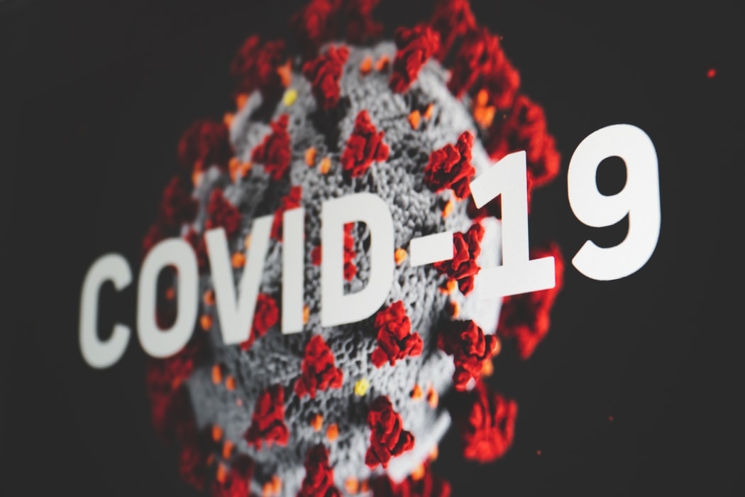
Our Web Application about COVID-19 is online
Our web application, where you can follow up-todate news and information about Coronavirus (Covid-19), as well as display statistical data such as case numbers and recovery rates, has been launched.
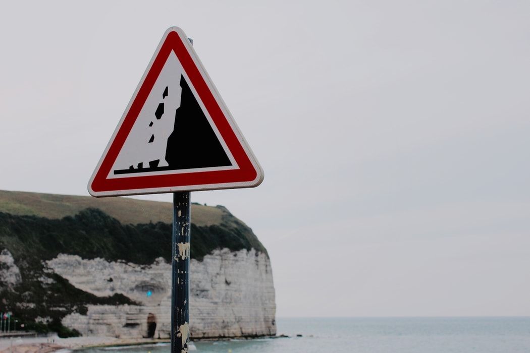
Turkey rockfall and avalanche hazard map was opened to the share of public authority.
Disaster and Emergency Management Presidency is the only authorized institution in our country regarding disasters and emergencies, and it has the responsibility to carry out its activities in cooperation with the relevant institutions and organizations according to the nature and magnitude of the disaster and emergency, with the understanding of an umbrella institution.
Hazard and Risk calculations are made for Landslide, Rockfall, Avalanche, Industrial and Technological disasters using ARAS (Disaster Risk Reduction System), which has been developed for planning and harm reduction studies against disasters as one of the most important tasks of the institution.
As of 2019 Landslide Susceptibility Map of Turkey was opened to share, at the beginning of 2020 rockfall and avalanche hazard maps were made available to Public Agencies and Institutions.
Turkey rockfall and avalanche hazard map was opened to the share of public authority.
ARAS (Disaster Risk Reduction System) developed by AFAD was made available to Public Institutions and started to be shared with online services.
In the 11th Developmen t Plan (2019- 2023), Disaster Risk Reduction System was mentioned.
In the Development Plan (2019-2023) published in July 2019, the use of ARAS "Disaster Risk Mitigation System", which was developed by AFAD and supported by our company in this process, was mentioned. Pursuant to Article 694.1 of the related document, "The Disaster Risk Mitigation System prepared by AFAD will be used in spatial planning activities." has been decided.
You can reach the related document from the link.
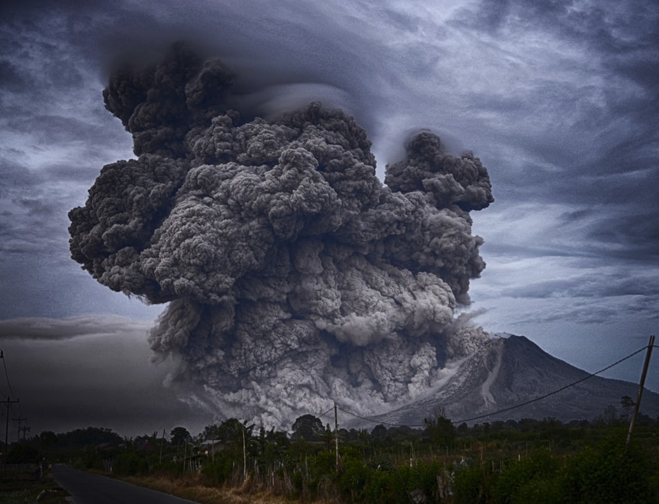
In the 11th Developmen t Plan (2019- 2023), Disaster Risk Reduction System was mentioned.
In the Development Plan published in July 2019, the use of "Disaster Risk Mitigation System", which was developed by AFAD and supported by our company in this process, was mentioned.
Istanbul Regional Directorate of Forestry has started to use Drones in Forest Fires Response, Planning and Harm reduction studies.
The General Directorate of Forestry (GDF) has the responsibility and mission to protect forest and forest resources, develop them with an understanding of nature, and manage them in a sustainable ecosystem integrity and provide miscellaneous benefits to the society.
As the Directorate of Combating Forest Fires, the Istanbul Regional Directorate of Forestry constantly monitors the forests in the Marmara Region, and carries out pre-fire precautions, fire-break interventions and post-detection studies.
With the developed Forest Fires Management approach, images from UAVs such as Drone and images with different features are analyzed and guide the decision makers and response teams.
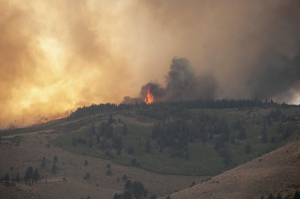
Istanbul Regional Directorate of Forestry has started to use Drones in Forest Fires Response, Planning and Harm reduction studies.
It continues to improve its processes by using today's autonomous technologies (UAVs such as Drone and integrated GIS) in its work before, during and after the forest fires.
Our new generation Spatial Decision Support System "XUs" has been launched.
Our XUs platform has been operationalized to assist the Decision Support Processes by targeting the use of Spatial Analysis Technologies together with Artificial Intelligence, Machine Learning Technologies (ANN: Artificial Neural Networks, BDL: Bayesian Deep Learning, SVM: Support Vector Machines, LDA: Linear Discriminant Analysis, FRA: Frequency Ratio Approach etc.).
XUs developed on HADES (GLOBETECH Map Support Platform) which is fully compatible with the GLOBETECH product family was developed with the aim of producing solutions for our problems that need spatial estimation and modeling (suitable or inappropriate area determination, different types of site selection needs).
Our Other Products More Information
Our new generation Spatial Decision Support System "XUs" has been launched.
YOur XUs product has started to be used with the aim of helping the Decision Support Processes by using Artificial Intelligence, Machine Learning Technologies and Spatial Information.
"Be Ready for Disasters" was launched by AFAD
AFAD continues to carry out projects and works that come into contact with people in order to develop the understanding of taking precautions without disasters in the society. Disaster Preparation Year marks a process that aims mental transformation in disaster preparedness. With the program, where people will be called #Ready for Disasters, the event is planned to take place with numerous activities for 12 months.
ARAS (Disaster Risk Reduction System), which has been used within the organization since 2017 and continues to develop in line with the needs until today, has been announced as one of the 6 priority studies shown in Disaster Preparedness Year.
Detailed Information can be accessed from the Official "HAZIROL" web page.
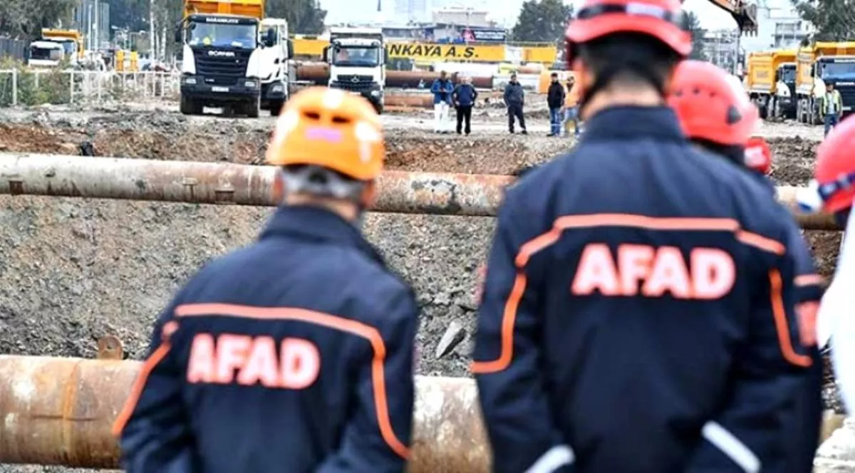
"Be Ready for Disasters" was launched by AFAD
Preparedness for Disasters Year developed by AFAD began for the establishment of a culture of disaster preparedness in Turkey! ARAS (Disaster Risk Reduction System) was announced as one of the 6 priority studies shown in this process.
From Drones to Spatial Analysis... Our Image Processing Platform "MapWings" has been published as test version.
Producing the data needed for location-based studies with fast, reliable and low costs is critical in today's conditions. Digital surface models (DSM) and orthophotos produced through aerial photographs are important data sources that serve this purpose. Thanks to the development of unmanned aerial vehicles, air photographs can be taken frequently, with high resolution and low costs.
MapWings developed on HADES (GLOBETECH Map Support Platform) which is fully compatible with the GLOBETECH product family was launched as a test version; basically aimed at photogrammetric processing of Aerial Photographs using web applications, making needed analyses in the cloud platform and over user-friendly interfaces, producing output data and supplying the users' access to the data in a fast and reliable environment in line with their authorization.
Our Other Products More Information
From Drones to Spatial Analysis... Our Image Processing Platform "MapWings" has been published as test version.
With the data obtained from UAV (Unmanned Aerial Vehicle) such as drone, our Image Processing Platform MapWings has been developed and "MapWings 0.6" version has been published for testing in order to serve different usage purposes by making 2D and 3D merging and image analysis in the Cloud Environment.
AFAD launches its new system for precautionary studies and safe routes for dangerous goods transportation.
Disaster and Emergency Management Presidency is the only authorized institution in our country regarding disasters and emergencies, and it has the responsibility to carry out its activities in cooperation with the relevant institutions and organizations according to the nature and magnitude of the disaster and emergency, with the understanding of an umbrella institution.
Hazard and Risk studies are carried out on Industrial and Technological disasters with ARAS (Disaster Risk Reduction System), which has been developed for planning and harm reduction studies against disasters as one of the most important tasks of the institution. Hazardous Material Transport Sensitivity, Hazard and Impact Analysis Modules were developed and analyzes for the most appropriate route planning for the use of both the institution and the companies performing Hazardous Substance Transport were included in the system.

AFAD launches its new system for precautionary studies and safe routes for dangerous goods transportation.
Within the scope of disaster planning and risk reduction studies, AFAD has launched an online system supported by today's current technologies for Hazardous Material Transportation, and a modeling and estimation system that can conduct Impact analysis according to the Sensitivity, Hazard and Hazardous Substance of Roads.
Landslide Susceptibility Map of Turkey was published.
Disaster and Emergency Management Presidency is the only authorized institution in our country regarding disasters and emergencies, and it has the responsibility to carry out its activities in cooperation with the relevant institutions and organizations according to the nature and magnitude of the disaster and emergency, with the understanding of an umbrella institution.
Landslide Sensitivity and Hazard Analyses are performed online based on estimation and modeling technologies such as Artificial Intelligence with ARAS (Disaster Risk Reduction System), which has been developed for planning and harm reduction studies against disasters as one of the most important tasks of the institution.
At the beginning of 2018 Landslide Susceptibility Maps of Turkey were put into service in public institutions and organizations for their work and decision-making processes.
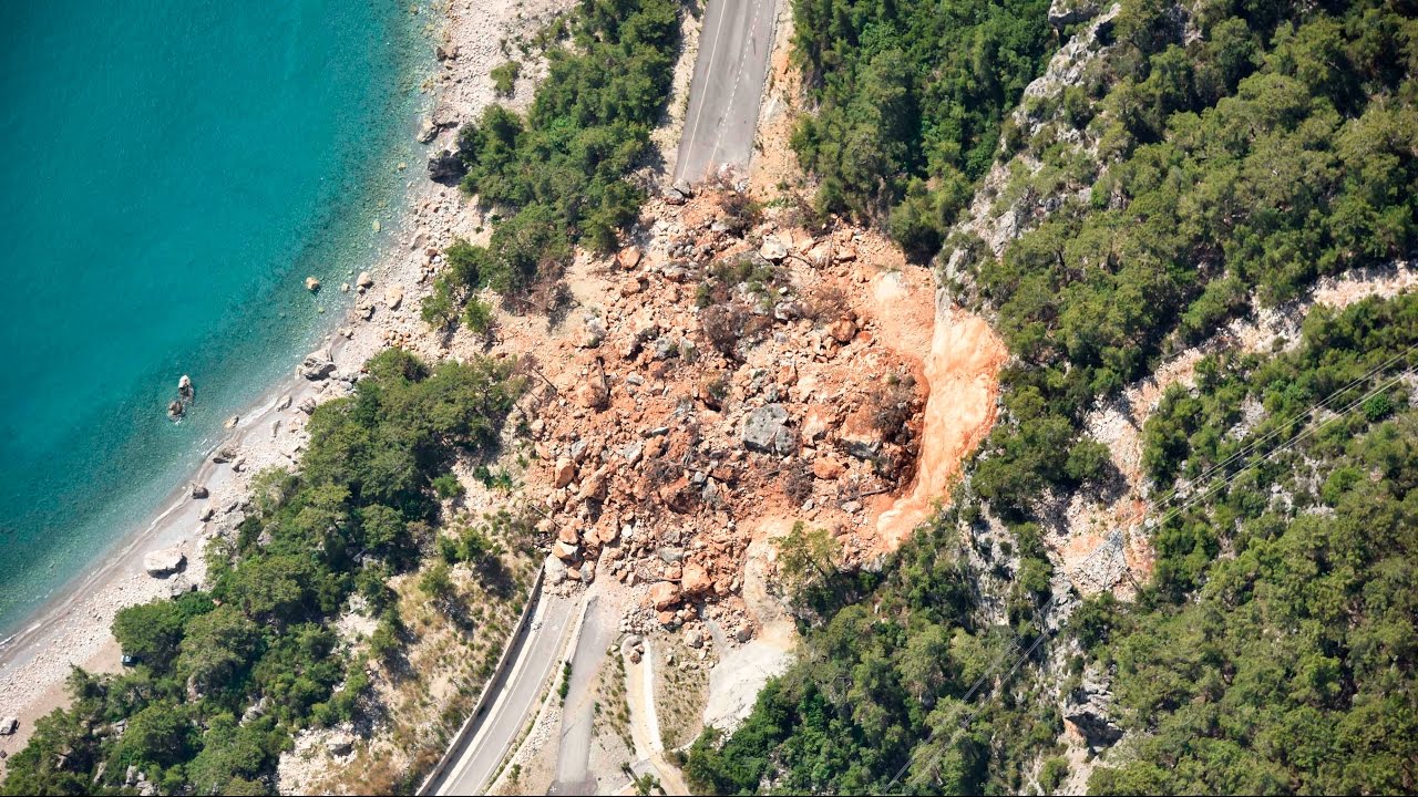
Landslide Susceptibility Map of Turkey was published.
The online "Landslide Susceptibility Map" of whole Turkey was produced and made available to all public institutions using ARAS (Disaster Risk Reduction System) developed by AFAD.
Our Risk and Risk Analysis platform "Risky" is available.
-
1- Our Hazard and Risk Analysis Solutions
-
a - Disaster Hazard and Risk Analysis
-
b - Crime Analysis
-
c - Security Analysis
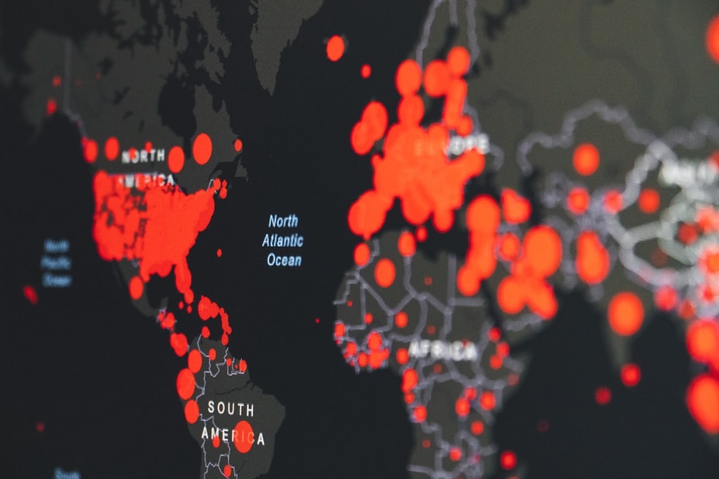
Our Risk and Risk Analysis platform "Risky" is available.
Development of our platform "Risky", which is capable of making predictions and modeling by using Spatial Hazard and Risk Analysis together with Artificial Intelligence and GIS technologies, has been completed and "Risky 1.0" has been published.
TEİAŞ - The corporate software infrastructure library is being developed with current technologies.
In our country, the transmission activities carried out by T.R. The Ministry of Energy and Natural Resource - TEIAS (Turkey Electricity Transmission Company) refers to critical activities responsible from allowing the distribution of produced electricity to consumers and transferring to the distribution network.
Within this responsibility, the institution has started to work on creating its own corporate software development library that can be expanded in line with today's technologies. As a result of this study, all software developed within the institution will be integrated with this current infrastructure, an important step will be taken to ensure business continuity towards reducing business dependencies and faster solutions will be obtained.
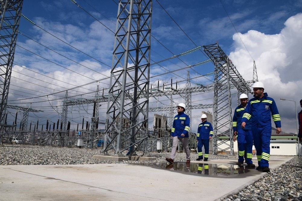
TEİAŞ - The corporate software infrastructure library is being developed with current technologies.
Development works of corporate software library infrastructure of TEİAŞ started with the support and consultancy of our company.
MTA continues on its way with ESRI technologies in GIS studies.
T.R. The Ministry of Energy and Natural Resources, MTA (General Directorate of Mineral Research and Exploration) is a research institution that produces all kinds of information necessary for the development of the mining industry and also provides infrastructure services.
In our country, especially in the GIS sector, MTA, which is one of the pioneer and leader institutions in the digitization process in their areas of responsibility, has begun to activities for update, enhancement and process improvement of ESRI technologies in line with today's requirements, with the cooperation of our company and ESRI Turkey, that they have been using for a long time in their studies.
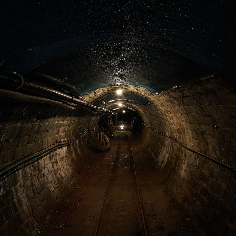
MTA continues on its way with ESRI technologies in GIS studies.
MTA has updated ESRI technologies, ESRI products and infrastructure it has been using for a long time, in line with current developments.
ARAS (Disaster Risk Reduction System) continues to improve and gain new features.
Disaster and Emergency Management Presidency is the only authorized institution in our country related to disasters and emergencies, and with the understanding of an umbrella institution, it has the responsibility to carry out its activities in cooperation with the relevant institutions and organizations according to the nature and magnitude of the disaster and emergency.
ARAS, which has been developed for planning and harm reduction activities against disasters, that is one of the most important duties of our institution, continues its development with new features. At the top of the newly acquired abilities, we can show that the new predictions and modeling become available by integrating Artificial Intelligence and Machine Learning Technologies with Spatial data. In addition, features have been added to improve performance, to increase the accuracy of the analysis results and to enhance many user experiences.

ARAS (Disaster Risk Reduction System) continues to improve and gain new features.
ARAS, which has been used by AFAD since 2017, has gained new modeling and prediction capabilities, especially by integrating artificial intelligence technologies and continues its development.
Atatürk Botanic Park has been presented to the service of the citizen with its new environment and technological face.
The "Atatürk Botanic Park" management, which is in the responsibility area of Istanbul Regional Directorate of Forestry, Bahçeköy Forest Management Directorate, conducts studies to present it to the citizens and conduct Scientific Researches.
As of 2019, "Atatürk Botanic Park Information and Management System" was launched. This system has been designed as an integrated system and has been developed by taking into consideration the needs of the Institution and the users. The main components of the system are;
-
Atatürk Botanic Park Citizen Portal
-
Online Service Purchase, Payment and Reservation
-
Access Control Systems
-
Camera and Security Systems
-
GIS Based Area and Inventory Management
You can reach the Atatürk Arboretum Portal from the link https://ataturkarboretumu.ogm.gov.tr

Atatürk Botanic Park has been presented to the service of the citizen with its new environment and technological face.
New website, integrated area management and access control systems of "Atatürk Botanic Park", which is located in the responsibility area of Istanbul Regional Directorate of Forestry, Bahçeköy Forest Management Directorate, have been launched in order to provide better quality, safe and fast service to citizens.
Studies to establish an International Organ Transplant Network Center have been completed.
TONV (Turkish Transplant Foundation) contributes to the development of organ transplant services at the highest level in our country and in the world, with the high social responsibility awareness of being a non-governmental organization operating in the field of organ transplantation, and in a collaboration with all components. Thanks to its modern technological facilities and professional workforce, it tries to offer life opportunities to more patients who need organ transplants by promoting organ donation in an effective, accessible and sustainable system in accordance with medical, legal and ethical rules, moral values and other social norms.
The systems developed with the project supported by İSTKA (Istanbul Development Agency) under the Guided Project Support Program are systems that produce direct information for systemic decisionmaker or decision-makers on the most important subjects such as human life, and they have international strategic importance in the field of health. Within the scope of ITN Central Software System project; organ transplantation data management software (ITN Central Software System) has been completed in order to keep data records about organ and tissue of the target countries, to ensure easy access and to end data confusion regarding the number of organ donations and organ transplants.
