Digital Transformation in the Construction Industry
With the power of spatial data, we offer dynamic and standardized solutions,
and increase your work
force, time and cost.
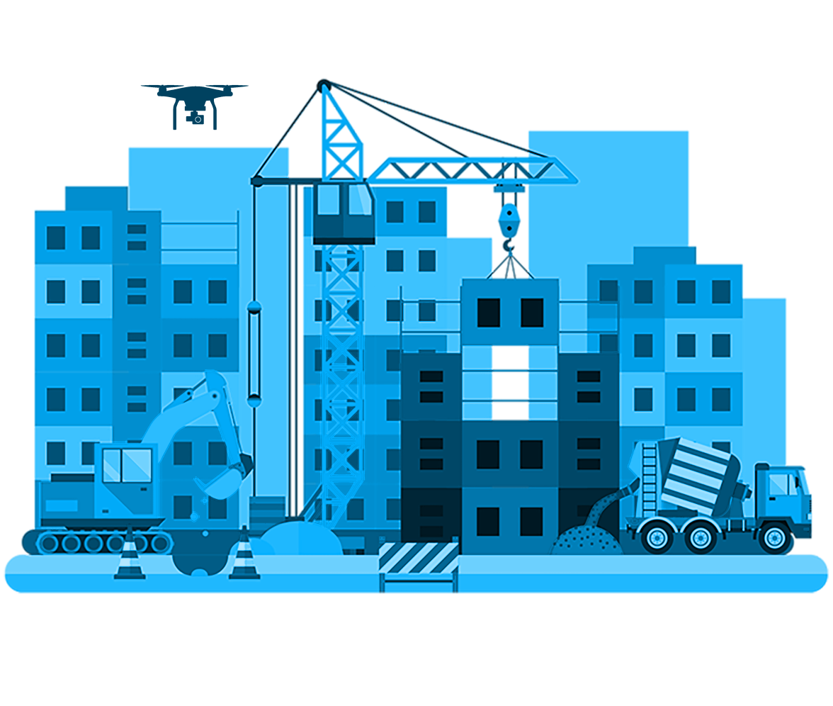
Field Management
With our real-time, interactive and map-based dashboards, web applications
and
drone solutions, you can safely manage and monitor your project sites in a time
and cost sensitive manner.
-
Project Tracking Manager and Personnel Panels
-
Current Field Monitoring with Drone Images
-
Field Change Detection on Images Acquired at Different Times
-
Safe Access to Hard to Reach Areas
-
Occupational Safety Tracking
-
Integration of Drone Images, BIM, GIS data

Inventory Management
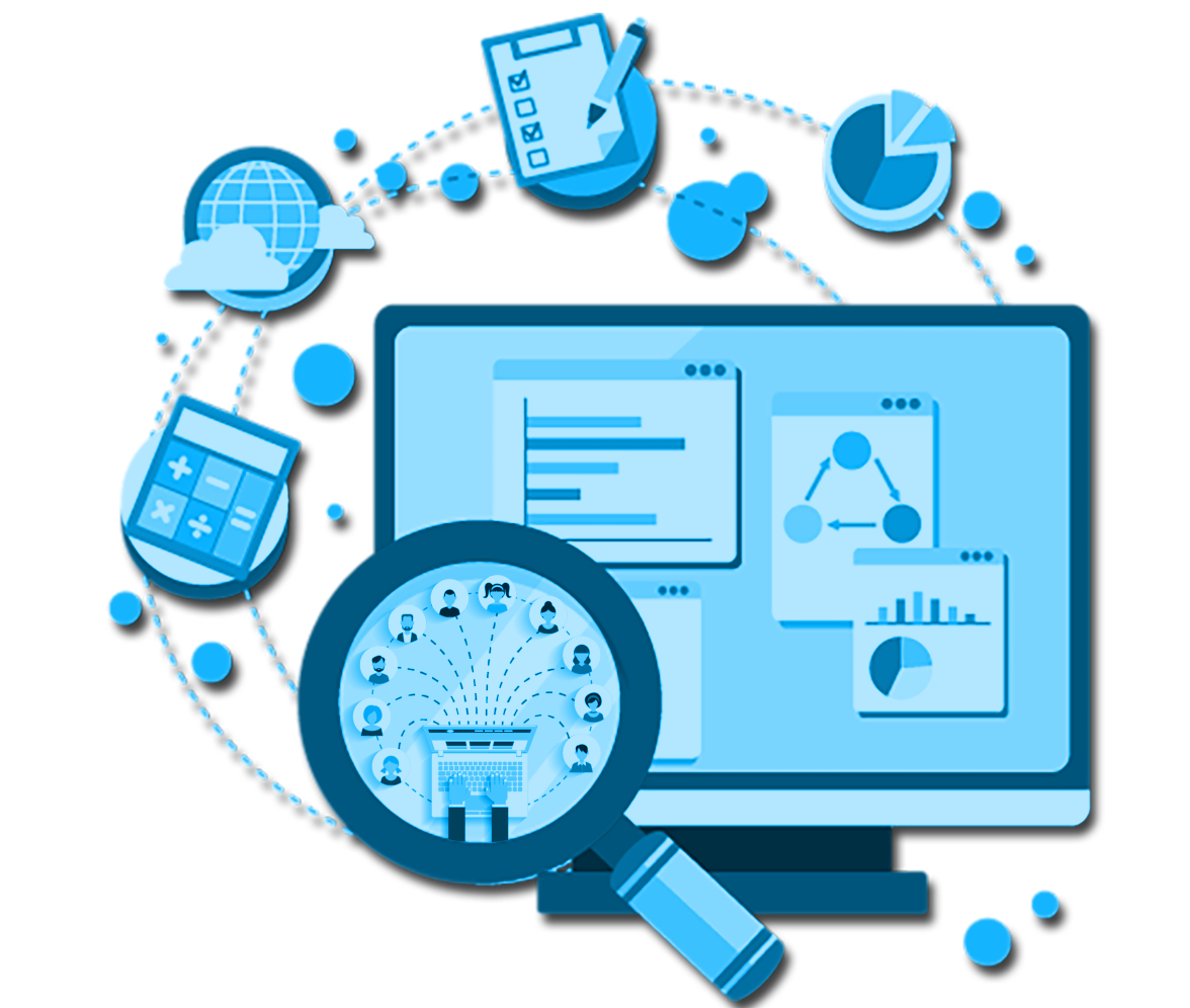
With our real-time, interactive and map-based dashboards, web applications and mobile applications, you can get instant information about the status of your equipment, its work, track your storage, manage your inventories, and monitor maintenance-repair.
-
Equipment Manager and Personnel Panels
-
Maintenance Monitor Panels
-
Storage Management
-
Cost Management
-
Location Tracking
-
Route Planning
Task Assignment and
Monitoring
With our job assignment and job tracking solutions, you can track the
status and
progress of your projects, monitor the task status of your employees, create task
assignments, your personnel in the field can instantly see the assigned task and start
working.
-
Project Monitoring Panels for Managers
-
Task Assignment Panels
-
Task Monitoring Panels
-
Mobile Apps
-
Location Tracking
- LEARN MORE
Environment - Plan Analysis
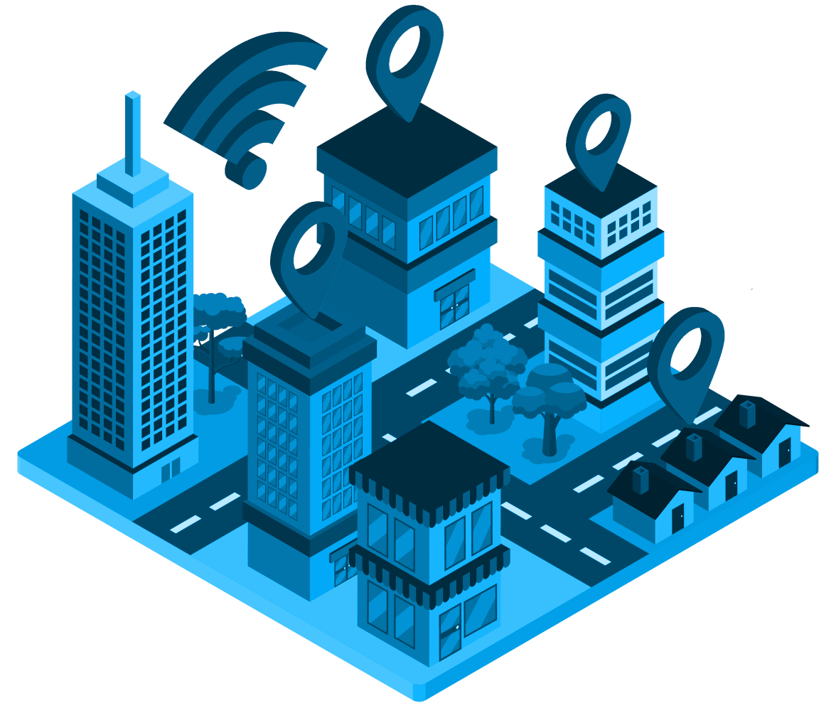
Before starting your projects, you can view your project area as modeled with
interrelationships
such as underground services, power lines, structures around the railway line, avoid
unexpected
situations, avoid rework and excess costs.
-
Accessibility and Line of Sight Analysis
-
Suitable - Inappropriate Site Selection
-
Temporary - PermanentFacilty Planning
-
Risk, Sensitivity, Hazard Analysis
-
Streams, Basin, Precipitation Models
Data Generation with Drone - UAV
With drones and UAVs, you can obtain images of your fields, combine images,
make
radiometric and geometric corrections, improve your images and prepare your data
for image processing.
-
Image Acquisition with Drones and UAVs
-
Image Merge
-
Removing Image Noise
-
Correction of Radiometric and Geometric Errors
-
Image Enhancement
-
Image Filtering
- LEARN MORE
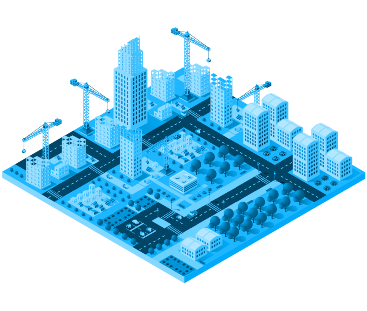
Terrain / Land Modeling and Analysis
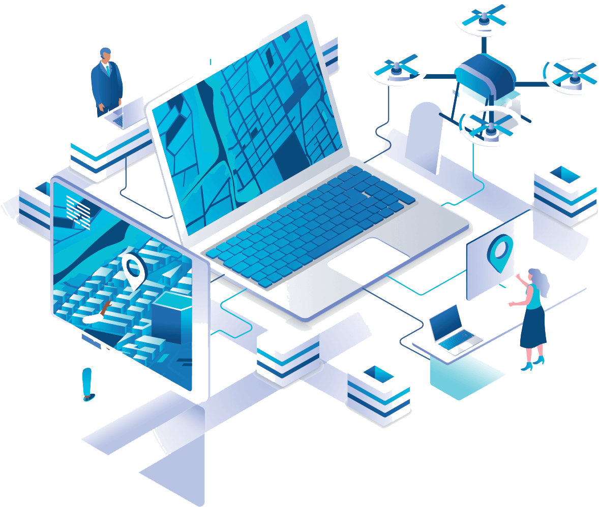
With the images from drones and UAVs, you can quickly view the current
situation,
model your land, perform analyzes, and plan the work you will do in your field.
-
2D – 3D Modeling
-
Point Cloud
-
Change Detection
-
Volume Analysis
-
Height Profile Calculations
-
Digital Twin
-
Object Detection
Deformation Detection
You can create 2D-3D models of your structures and roads, make time-sensitive analyzes,
detect deformations, and plan your maintenance and repair activities.
-
3D Deformation Detection
-
Maintenance – Repair Activities
-
Periodic Analysis
-
Change Detection
-
CAD – GIS Integration
-
Pre-Project Environmental Analysis
- LEARN MORE
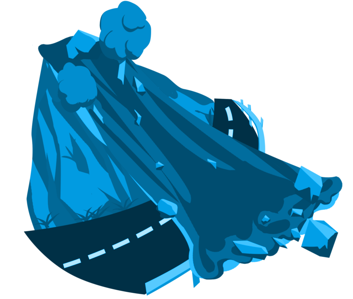
Hazard - Risk Analysis
You can perform risk, sensitivity and hazard analyzes before starting or carrying out your projects, avoid unexpected situations, prevent rework and excess costs, and detect situations that will threaten the safety of your employees in advance.
-
Suitable - Inappropriate Site Selection
-
Landslide Analysis
-
Rockfall Analysis
-
Precipitation Analysis
-
Work Safety
FOR MORE QUESTIONS
YOU MAY CONTACT US!
For more questions contact our expert support team.