OUR PRODUCTS
We take care to offer innovative and robust spatial applications that unlock the full potential of your organization.
GLOBEOS
The Single Solution Platform for Your Earth Observation Data
GLOBEOS, which allows you to easily manage your earth observation data in real-time, helps you achieve fast and accurate results by combining all analysis processes in a single platform.
With GLOBEOS, you can manage your earth observation data in real-time and efficiently. By consolidating all analysis processes into a single platform, GLOBEOS allows you to make fast and accurate decisions based on the most up-to-date information through semi-real-time data access. You can conduct deeper analysis with extensive earth observation data, and manage complex processes easily with advanced analysis tools. By monitoring environmental changes and long-term trends using data from different time periods and spectral bands, you can gain strategic insights and improve the accuracy of your spatial analysis with high-resolution data.
LEARN MORE GO TO PRODUCT PAGE

DocTR
Next-Generation Document Production and Management Platform
DocTr allows you to produce fast and collaborative documents that comply with corporate standards using specialized document templates. With versioning capabilities, you can easily access past documents and create new versions.
With its process management and authorization infrastructure, you can easily manage preparation, review, and approval processes. DocTr enables your team to work simultaneously, saving time and increasing productivity.
LEARN MORE GO TO PRODUCT PAGE
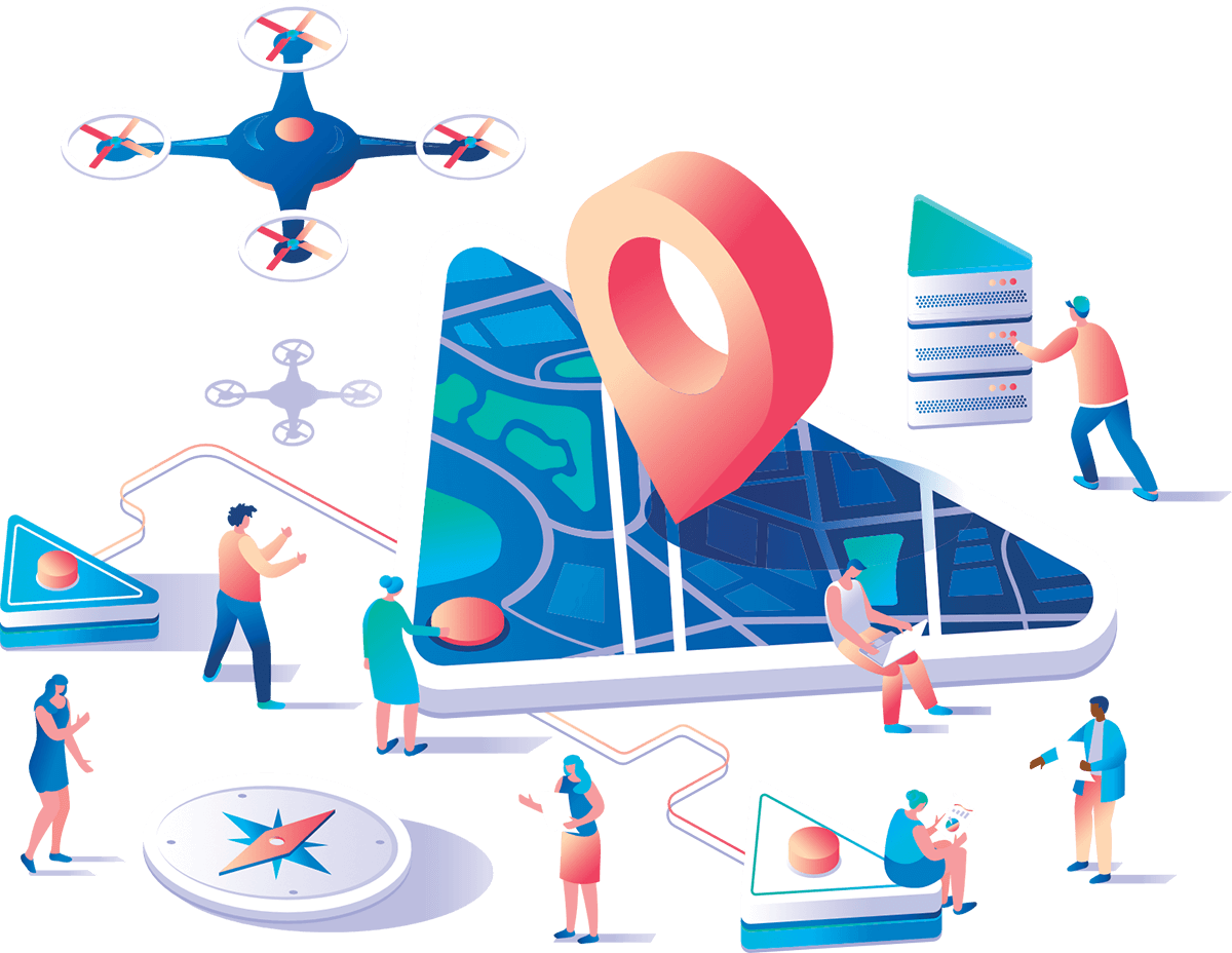
MapWings
From Drones and UAVs to Spatial Analyses...
Our product helps you quickly visualize the current situation using images from drones and UAVs, and supports your spatial analysis needs using remote sensing methods.
With our product;
-
Generate 2D and 3D maps by stitching images together,
-
Perform spatial analyses: Change Analyses (illegal construction, production areas, volume calculation, etc.), Plant Growth and Health, Object Detection, Predicting areas of natural disasters like landslides, Band arithmetic, etc.
-
Specialized analyses can be performed with multispectral image processing capabilities.


Risky
Spatial Hazard and Risk Modeling System
A cloud-based system that calculates hazard and risk scores according to selected topics in the study area.
By using spatially-based machine learning models, you can conduct sensitivity, hazard, and risk analyses for the region you are working in, and strengthen your protection, prevention, and risk mitigation plans based on these analyses.
LEARN MORE GO TO PRODUCT PAGE
MızMız
Spatial Business Intelligence
Your Spatial Business Intelligence Solution Partner on the road from Big Data to Information.
If you have a large amount of data in your work, if your data is stored in different systems, and you are facing data management issues, MızMız Spatial Business Intelligence application could be suitable for you. We transform all your data into information via MızMız through a portal.
LEARN MORE GO TO PRODUCT PAGE

XUs
Next Generation Spatial Decision Support System
By using statistical models like machine learning and artificial intelligence, our new generation Decision Support System provides the solution you need to decide spatially which areas are suitable or unsuitable, and which areas should be selected based on multiple criteria.
LEARN MORE GO TO PRODUCT PAGE
HADES
GLOBETECH Map Support Platform
A cloud-based map decision support infrastructure platform consisting of basic modules required by corporate needs.
It includes the common infrastructure and related modules (logging, archiving, parameter management, process management, authorization, etc.) required by corporate systems and provides a fast and stable infrastructure solution.
LEARN MORE GO TO PRODUCT PAGE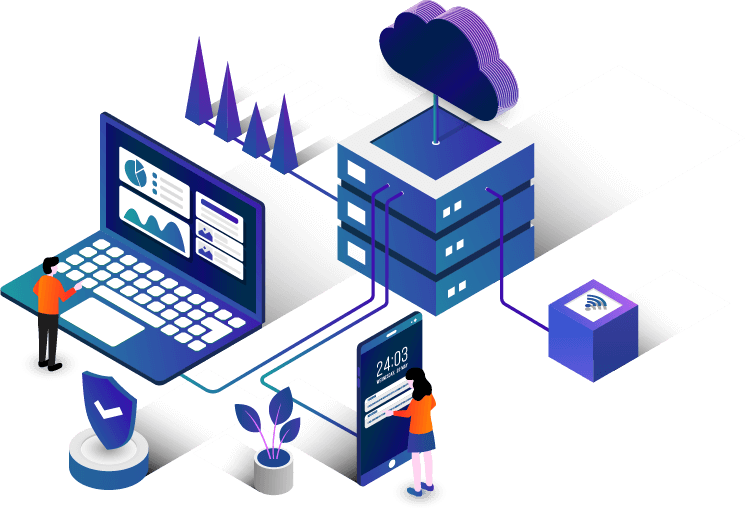
FOR MORE QUESTIONS
YOU MAY CONTACT US!
For more questions contact our expert support team.