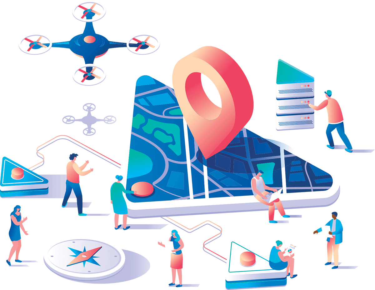
GLOBEOS enables you to easily manage your earth observation data in real time, helping you to achieve fast and accurate results by combining all analysis processes in a single platform.
You can request information about the product by filling out the form below.
DocTr allows you to produce corporate-standard, fast, and collaborative documents with specialized templates. Thanks to the versioning feature, you can easily access past documents and create new versions.
You can request information about the product by filling out the form below.
Cloudbased Map Decision Support infrastructur e platform consisting of base modules that are required by the corporate needs
You can send your information request about the product by filling out the form below
DSS for spatially suitable or inappropriat e region / area selection based on Machine Learning algorithms
You can send your information request about the product by filling out the form below.
Your Spatial Business Intelligence Solution Partner from your big data pool to Information
You can send your information request about the product by filling out the form below.
The system where the Hazard and Risk Scores of the study area is performed cloud-based on the selected topics
You can send your information request about the product by filling out the form below.
Your solution partner performing fast analysis with the help of images from drones and UAVs
You can send your information request about the product by filling out the form below.
This website uses cookies to ensure you get the best experience on our website. You can view our Cookie Policy here.
Our next-generation Decision Support System leverages machine learning, artificial intelligence, and statistical models to assess which areas are suitable or unsuitable, and to help you decide which areas should be selected based on multiple criteria.
LEARN MOREFor more questions contact our expert support team.
Copyright © 2020 Globetech All rights reserved.